I never would have guessed to go and climb the Japan Alps.
I thought it is
far away and very dangerous places.
However I want to climb them whenever
I read a climbing magazine.
That is introduced and mentioned some great
mountains in those areas.
How I've waited for this moment.
This time
I debut the Japan Alps. It is my first dream comes true.
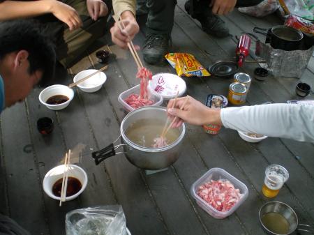
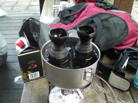
 First day:
We left
Hiroshima by car at 19:30. Member are TN san & I just 2.
We arrived at
the 平湯温泉 of 岐阜 spending 8 hours at 3:30.
Then we changed car to bus at 6:25
after we took a short nap.
Finally we got 上高地 of 長野 just before 7:00. It took
about 12 & half hours.
Whew, that was really tough.
"We are
off!"
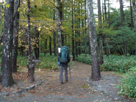
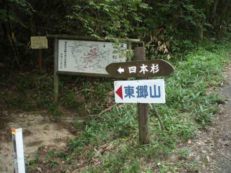
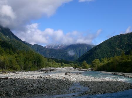
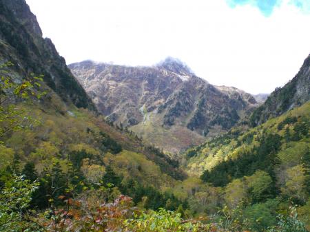
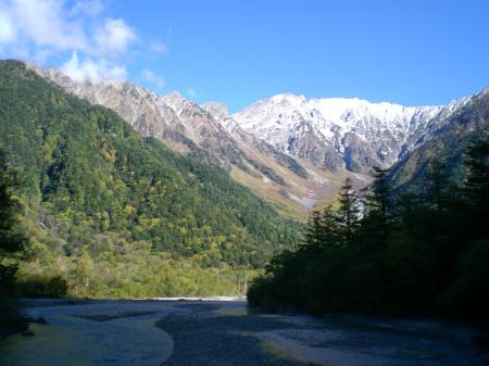
上高地(河童橋)~明神~徳沢~横尾
It is a smooth path of
about 11km to 横尾 walking along 梓川 as following.
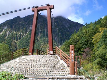
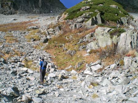
横尾
From here to 涸沢, it is 6 km and 3
hours.
Then the mountain path starts from here.
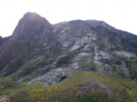
屏風岩
It is similar in appearance as 屏風.
I
remember that is stage of novel "氷壁" by 井上靖 that they climbed that vertical wall
at the mid-winter.
Unbelievable!
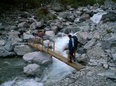
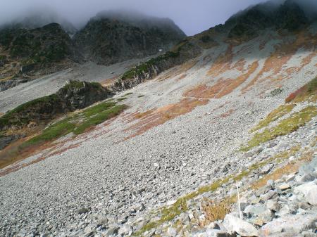
本谷橋
From here to 涸沢, it climbs a tough mountain
path.
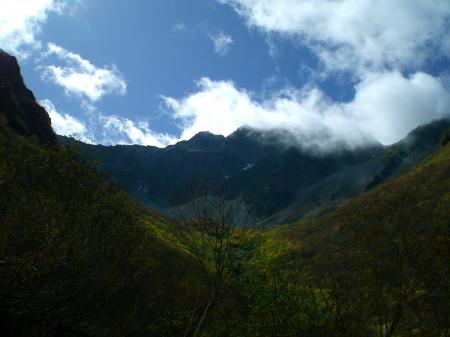
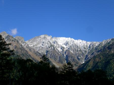
A magnificent 奥穂高 is starting to clear up.
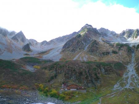
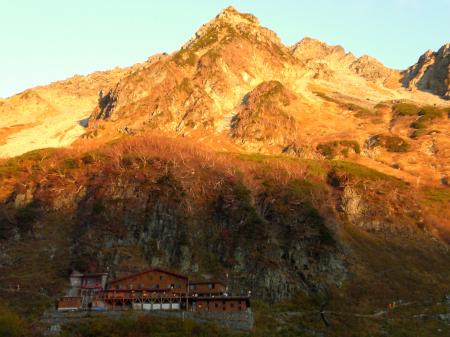
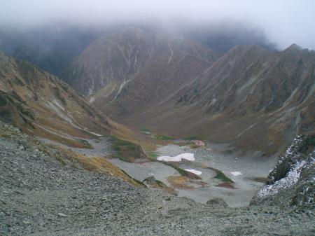
We arrived at 涸沢カール. The leaves are very brilliant
and colourful.
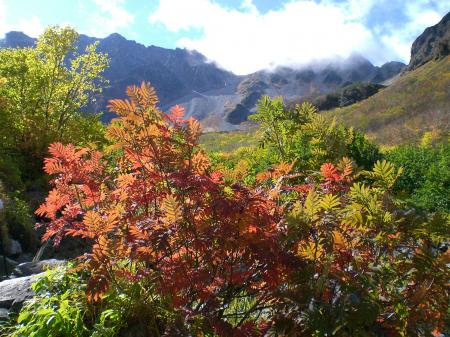
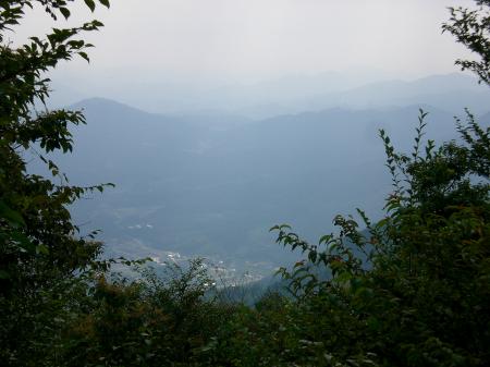
It's another world. It doesn't seem to be in Japan.
The amazing scenery from here – this is a view I have never seen.
The
altitude here is 2,350m that is my first experience.
And we will stay here
and make a camp 2 nights.
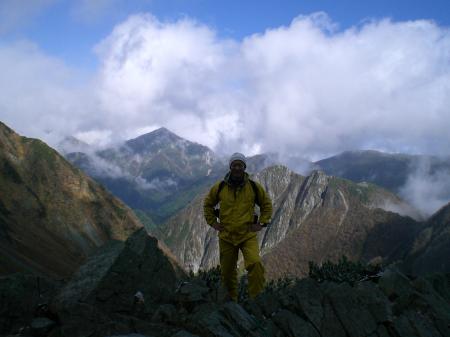
前穂高岳
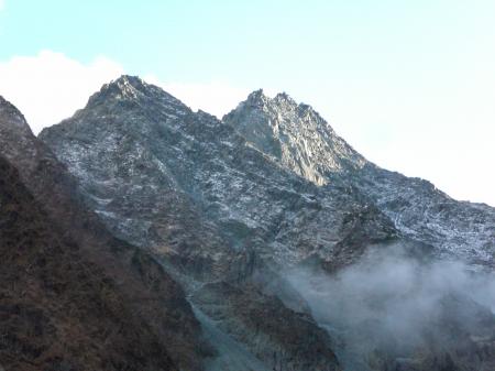
And 奥穂高岳
Then 北穂高岳
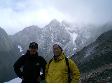
 Second day
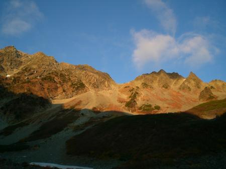
We got up
just before 5:00 and went out of the tent. There are pretty spectacle.
The
mountains are shined to red in the sunrise. It is glowing color.
Today's weather is perfect for climbing.
Terrific!
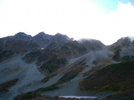
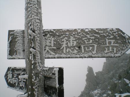
We will climb Mt. 奥穂高岳(left side) & 涸沢岳(right side) today as
following phote.
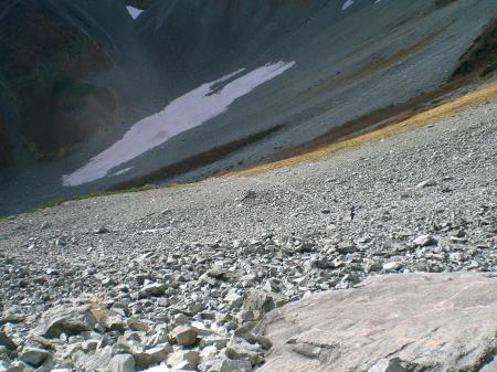
The route that walks to the 穂高岳山荘 from the camp site is
clearly seen.
Crossing the snow gorge from the camp site.
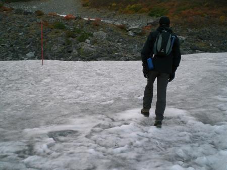
Traverses a long slope.
Traverses a long slope to ザイテングラート in the opposite
direction.
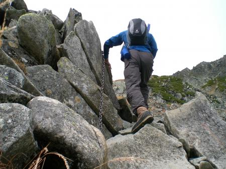
Starting point of ザイテングラート
Climbing a steep slope.
And the weather
deteriorates gradually.
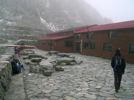
Reach the 穂高岳山荘(3,000m)
Climbing almost vertical
rock slope from here to summit.
涸沢 spreading below my eyes from 穂高岳山荘 (altitude
difference of 700m).
Summit is remain 200m.
Just below the summit.
The weather turned very
very cold that is a strong wind and snowing.
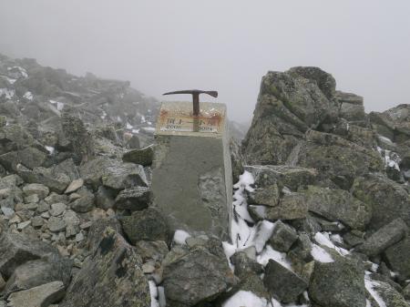
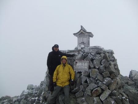
Reach the summit of 奥穂高岳 (3,190m)
Scenery
didn't see anything from the top because of bad weather.
We were not able to
see the real world from vault of heaven.
Let's make it to the next
time.
Climbing the 涸沢岳 gave up due to the bad
weather.
Then we started to come down from the top.
It cleared up
momentarily on the way of going down the ザイテングラート.
A shot just before 前穂高
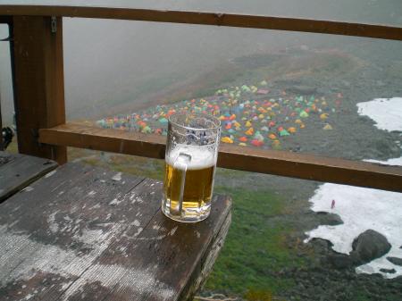
After all, Cheers! @涸沢小屋
I surprised that tents
just under here has increased to the great number.
I was downed due to awful headache. An altitude
sickness?
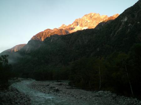
Third dayGet up at 2:00 and departure
of light of star at 3:30.
It has lightened just brfore the 横尾.
And 明神岳 was
shined to red in the sunrise.
Reach the 上高地 just before 9:00.
I looked up and
穂高連峰 had clearly a white snow at the top .
Beautiful! Just beautiful!!
The sky is so blue. That's great!
And I climbed
such a far and high place. Great effort!
 I'll be back.